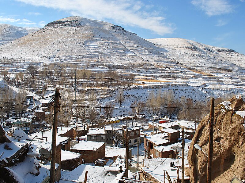
Kandovan is a village in Sahand Rural District of the Central District in Osku County, East Azerbaijan province, Iran. It is situated in the foothills of Mount Sahand, near the city of Osku.
The village exemplifies manmade cliff dwellings which are still inhabited. The troglodyte homes, excavated inside volcanic rocks similar to dwellings in the Turkish region of Cappadocia, are locally called Karaan. Karaans were cut into non-welded ignimbrites, also called "ash-flow tuffs," of Mount Sahand.
The cone form of the houses is the result of the erosion of ignimbrite layers consisting of porous, round and angular pumice together with other volcanic particles that were positioned in a grey, acidic matrix. During the eruption of Sahand, pyroclastic flows formed the rocks of Kandovan.
Wikipedia https://en.wikipedia.org/wiki/Kandovan,_Osku
Coordinates 37°47'41.835" N 46°14'57.488" E