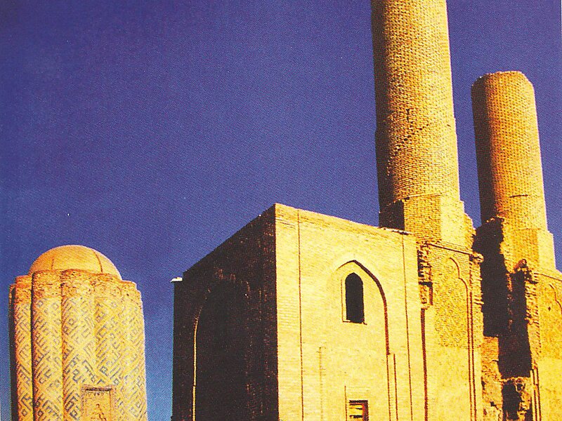
Kangarli is the newest raion of Azerbaijan, in the Nakhchivan Autonomous Republic. Kangarli district was established in March 19, 2004. The district of Kangarli is located between the districts of Babek and Sharur. The southern part of the district is bordered by Iran, the northern - by Armenia. The landscape of the district is predominantly mountainous; it is located on the Daralayaz Plateau. The area is 704 square km. It was split off from Sharur raion in March 2004. The administrative center of the raion is Givrakh.
The name Kangarli was originally applied to a Turkic tribe who founded a regional Maku Khanate that ruled the area.
Wikipedia https://en.wikipedia.org/wiki/Kangarli_District
Coordinates 39°22'5.028" N 45°13'11.833" E