Kebayoran Lama is a district of South Jakarta, Indonesia. The rough boundaries of Kebayoran Lama are: Kebayoran Lama Road – Palmerah Barat Road to the north, Grogol River to the east, Jakarat Outer Ring Road to the south, and Pesanggrahan River to the west.
Kebayoran Lama contains some green areas of moderate size, some of this area are concentrated within the Tanah Kusir Cemetery, famous for being a burial place of Mohammad Hatta, the first vice president of Indonesia.
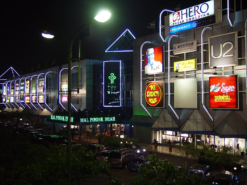
Pondok Indah is an upscale residential area located in Kebayoran Lama.
Wikipedia https://en.wikipedia.org/wiki/Kebayoran_Lama
Coordinates -6°14'37.99" N 106°46'47.493" E