The Kentucky Bend, variously called the New Madrid Bend, Madrid Bend, Bessie Bend, or Bubbleland, is an exclave of Fulton County, Kentucky, encircled by the states of Tennessee and Missouri. It is a portion of a peninsula defined by an oxbow loop meander of the Mississippi River, and its inclusion in the state of Kentucky stems from uncertainties of the course of the Mississippi River when the boundary between Tennessee and Kentucky was established.
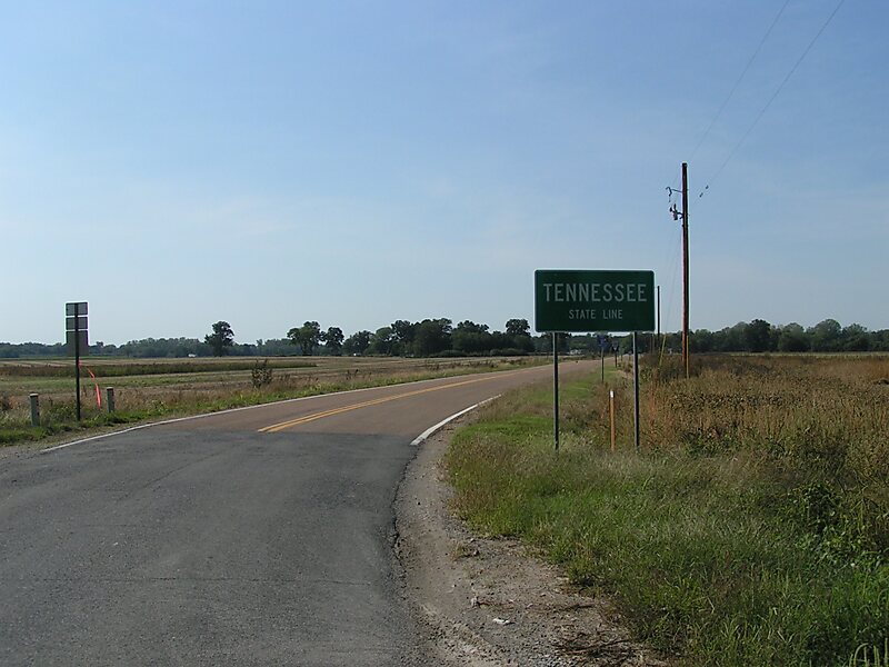
Kentucky Bend is the extreme southwestern corner of Kentucky. The peninsula is traversed by the southern line of latitude of the state of Kentucky, at the banks of the Mississippi River. The only highway into the area is Tennessee State Route 22, whose continuation into Kentucky Bend at one time was signed as Kentucky State Route 313.
Wikipedia https://en.wikipedia.org/wiki/Kentucky_Bend
Address Kentucky Bend Rd, 42050, United States
Coordinates 36°30'40.545" N -89°29'32.886" E