Kyelang is the administrative centre of the Lahaul and Spiti district in the Indian state of Himachal Pradesh, 71 km north of Manali via Atal Tunnel and 120 km from the Indo-Tibetan border. It is located along the Manali-Leh Highway, about 7 km north-east of intersection of the Chandra Valley, the Bhaga Valley, and the Chenab Valley; on the banks of Bhaga River.
Download Download See more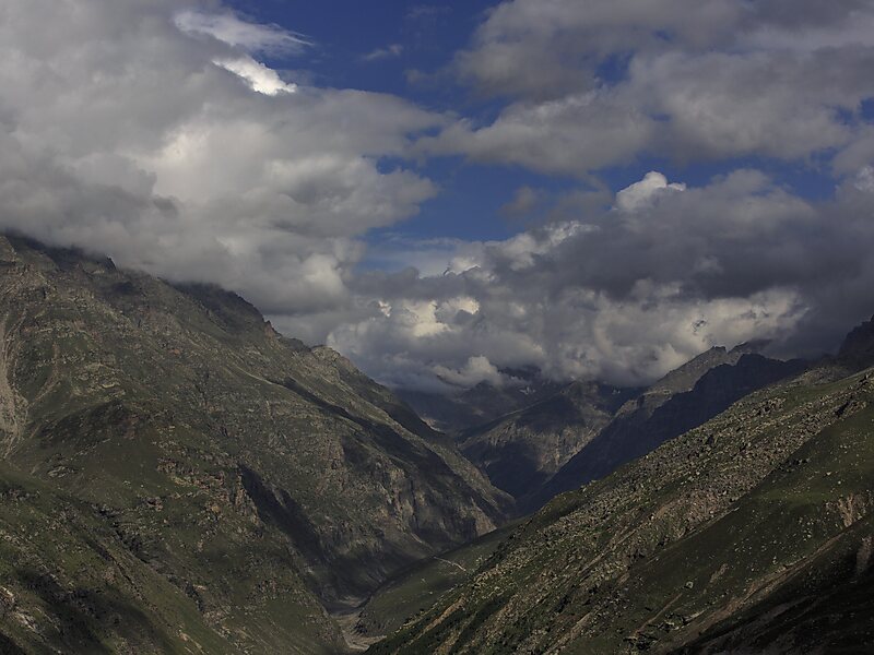
Wikipedia https://en.wikipedia.org/wiki/Kyelang
Coordinates 32°34'18.192" N 77°2'5.136" E
