Khumjung is a village in Khumbu Pasanglhamu rural municipality of Solukhumbu District in Province No. 1 of north-eastern Nepal. It is located in the Khumbu subregion inside Sagarmatha National Park, a world heritage site. The village is at an elevation of 3,790 metres above sea level, and is situated near Mount Khumbila.
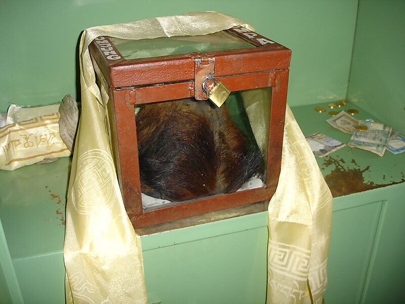
A monastery in Khumjung has a purported Yeti scalp. This village has modern communications such as the internet and mobile and landline phones.
The village is the seat of ward no. 4, which include Kunde, Khumjung, Tengboche, Pangboche, Pheriche, Dole, Chharchung, Machhermo, Lobuche, Dingboche, and Gokyo.
Wikipedia https://en.wikipedia.org/wiki/Khumjung
Coordinates 27°49'25.042" N 86°43'2.27" E