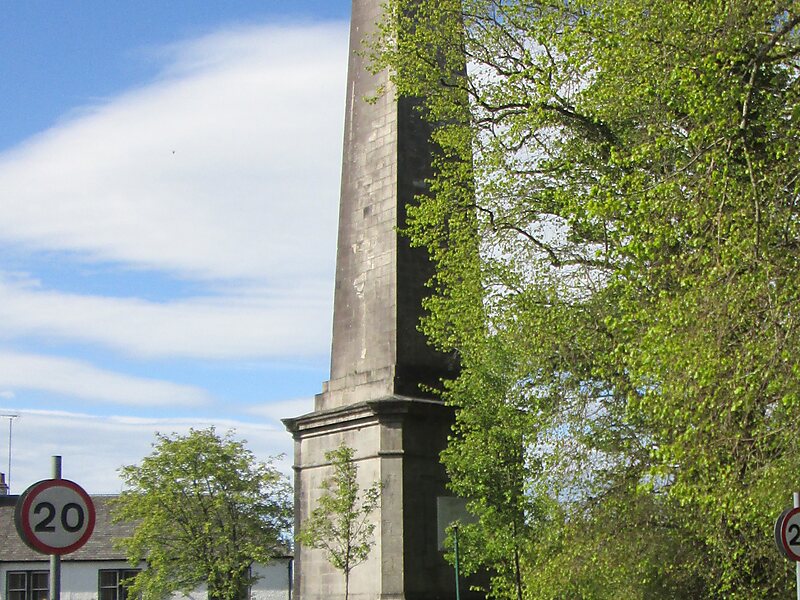
Killearn – is a small village of approximately 1700 people in the Stirling council area of Scotland.
The village has its own primary school, a local Co-Op Store, a pre and post school club - The Little Outdoor Classroom, and two nurseries - Mulberrybush Montessori and Heron HouseThe village is approximately 15 miles north of Glasgow, 7 miles east of Loch Lomond, and sits on the northwest flank of the Campsie Fells, most predominantly in the shadow of the volcanic plug of Dumgoyne, overlooking the confluence of the Endrick Water and Blane Water.
The Glengoyne whisky distillery, Loch Lomond and the Trossachs National Park and West Highland Way long-distance walking route are situated close to the village.
Wikipedia https://en.wikipedia.org/wiki/Killearn
Coordinates 56°2'38.437" N -4°22'21.839" E