Kita-ku is one of four wards of Okayama, Okayama Prefecture, Japan. The ward has an area of 451.03 km² and a population of 295,312. The population density is 655 per square kilometer. The name means "North Ward."
The wards of Okayama were established when Okayama became a city designated by government ordinance on April 1, 2009.
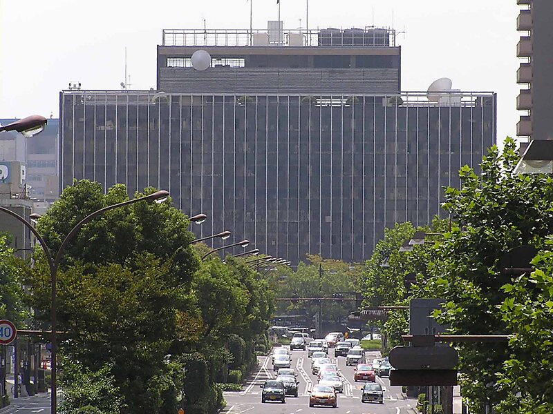
The city has its municipal headquarters in kita-ku.
Wikipedia https://en.wikipedia.org/wiki/Kita-ku,_Okayama
Official Website http://www.city.okayama.jp/kitaku/
Coordinates 34°46'18.786" N 133°52'39.183" E
