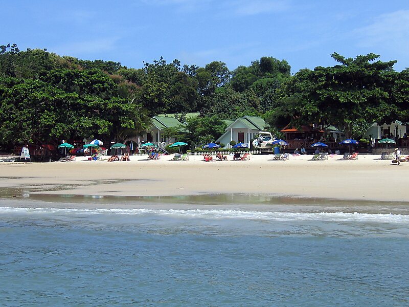
Ko Samet is one of the eastern seaboard islands of Thailand. It is in the Gulf of Thailand off the coastline of the Thai province of Rayong, approximately 220 kilometres southeast of Bangkok. Ko Samet is part of the Phe Subdistrict of the Amphoe Mueang Rayong, of Rayong Province. Ko Samet is the largest and westernmost of a cluster of islands not far from the coast. Ko Samet measures 6.8 kilometres from north to south. At its closest point to the mainland, the island is 2.6 kilometres south of mainland Rayong Province; however the actual travelling distance from the main commercial tourist pier in the town of Phe to the island's closest tourist beach is about 10 kilometres.
Popular with foreign tourists and as a weekend getaway for residents of nearby Bangkok, most of the island is in the Khao Laem Ya–Mu Ko Samet National Park.
Wikipedia https://en.wikipedia.org/wiki/Ko_Samet
Coordinates 12°33'41.013" N 101°27'9.991" E