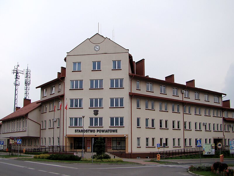
Kolbuszowa County is a unit of territorial administration and local government in Subcarpathian Voivodeship, south-eastern Poland. It came into being on January 1, 1999, as a result of the Polish local government reforms passed in 1998. Its administrative seat and only town is Kolbuszowa, which lies 30 kilometres north-west of the regional capital Rzeszów.
The county covers an area of 773.93 square kilometres. As of 2019 its total population is 62,389, out of which the population of Kolbuszowa is 9,075, and the rural population is 53,314.
Wikipedia https://en.wikipedia.org/wiki/Kolbuszowa_County
Official Website http://www.powiat.kolbuszowski.pl/
Coordinates 50°14'35.98" N 21°46'31.643" E