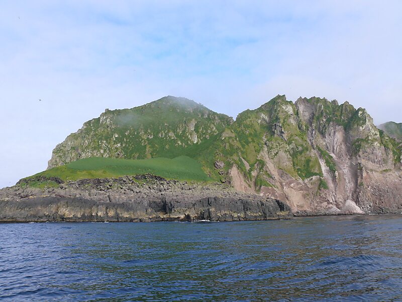
Koniuji Island is one of the Andreanof Islands subgroup of the Aleutian Islands of southwestern Alaska, United States. It lies northwest of Atka Island and east of Kasatochi Island. Koniuji Island has a land area of 0.37 sq mi and is uninhabited.
Koniuji Island is the emergent top of a mostly submarine stratovolcano. Little is known of the geologic history of this volcano. Reports of recent eruptive activity may be erroneous and are considered to refer to eruptions of Kasatochi volcano to the west. The last eruption of Koniuji Island was around 3,000 years ago, in approximately 1150 BC.On all sides of Koniuji Island except the south and southeast, the shoreline is sheer and precipitous, rising to two sharp summits of 896…
Wikipedia https://en.wikipedia.org/wiki/Koniuji_Island
Coordinates 57°55'47.152" N -152°50'20.112" E