Köterberg
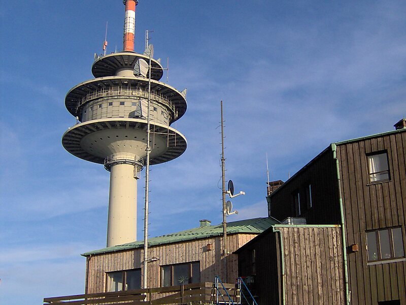
The Köterberg, at 495.8 m above sea level, is the highest hill in the Lippe Uplands and lies on the state border between North Rhine… Read more…
peak

Riverside Hotel

Köterberg
2h

Corner Café
45 min
Riverside Hotel
Add Köterberg to Your Trip
Create a detailed travel itinerary with smart routing, time estimates, and everything you need for a perfect trip.
3M+ downloads · 4.6 stars · 15 years of trip planning


The Köterberg, at 495.8 m above sea level, is the highest hill in the Lippe Uplands and lies on the state border between North Rhine-Westphalia and Lower Saxony in North Germany. On its northern slopes is the village of Köterberg.
Source: Wikipedia
More Information and Contact
Wikipedia en.wikipedia.org/wiki/K%C3%B6terberg
Address 17 Köterberg, 32676, Germany
Coordinates 51°51'19.394" N, 9°19'26.247" E
Riverside Hotel
Köterberg
2h
Corner Café
45 min
Riverside Hotel
Add Köterberg to Your Trip
Create a detailed travel itinerary with smart routing, time estimates, and everything you need for a perfect trip.
3M+ downloads · 4.6 stars · 15 years of trip planning