Kōtō is a special ward in the Tokyo Metropolis in Japan. The ward refers to itself as Kōtō City in English. As of May 1, 2015, the ward has an estimated population of 488,632, and a population density of 12,170 persons per km². The total area is approximately 40.16 km².
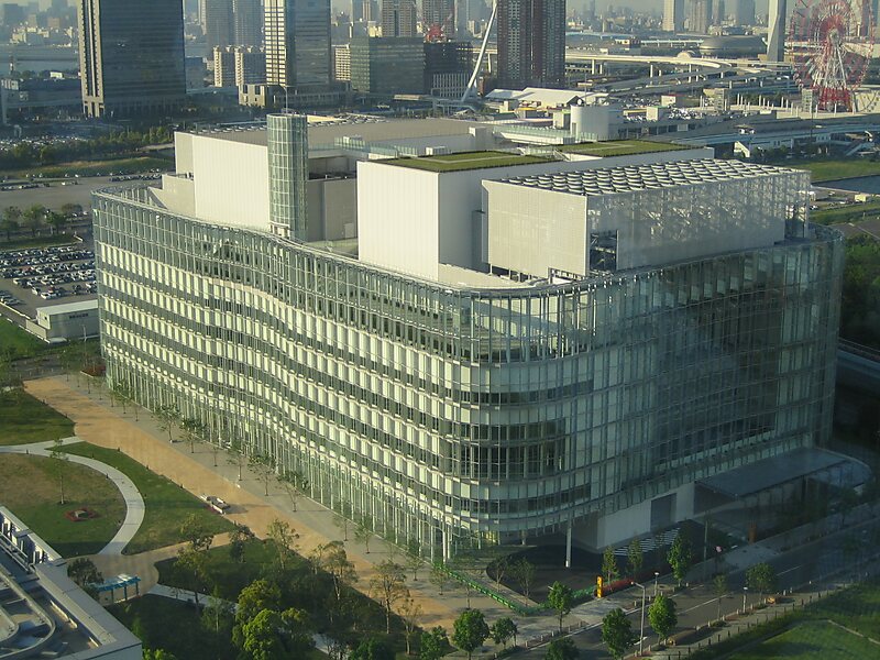
Kōtō is located east of the Tokyo metropolitan center, bounded by the Sumida River to the west and the Arakawa River to the east. Its major districts include Kameido, Kiba, Kiyosumi, Monzen-nakachō, Shirakawa, and Toyosu. The waterfront area of Ariake is in Kōtō, as is part of Odaiba.
Wikipedia https://en.wikipedia.org/wiki/Kōtō
Coordinates 35°40'21.989" N 139°49'1.064" E
