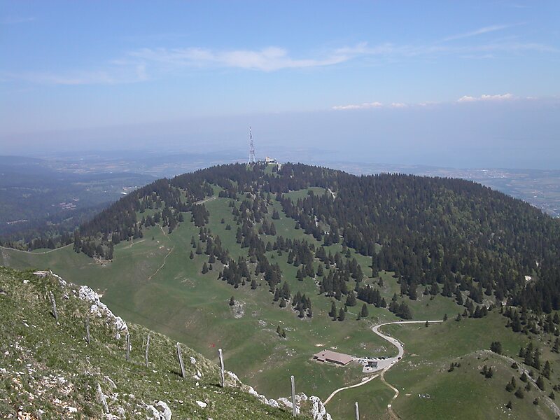
La Dôle
La Dôle is a mountain of the Jura, overlooking Lake Geneva in the westernmost part of the canton of Vaud.
peak

Riverside Hotel

La Dôle
2h

Corner Café
45 min
Riverside Hotel
Add La Dôle to Your Trip
Create a detailed travel itinerary with smart routing, time estimates, and everything you need for a perfect trip.
3M+ downloads · 4.6 stars · 15 years of trip planning


More Information and Contact
Wikipedia en.wikipedia.org/wiki/La_D%C3%B4le
Address 1276, Switzerland
Coordinates 46°25'32.337" N, 6°5'58.397" E
Riverside Hotel
La Dôle
2h
Corner Café
45 min
Riverside Hotel
Add La Dôle to Your Trip
Create a detailed travel itinerary with smart routing, time estimates, and everything you need for a perfect trip.
3M+ downloads · 4.6 stars · 15 years of trip planning