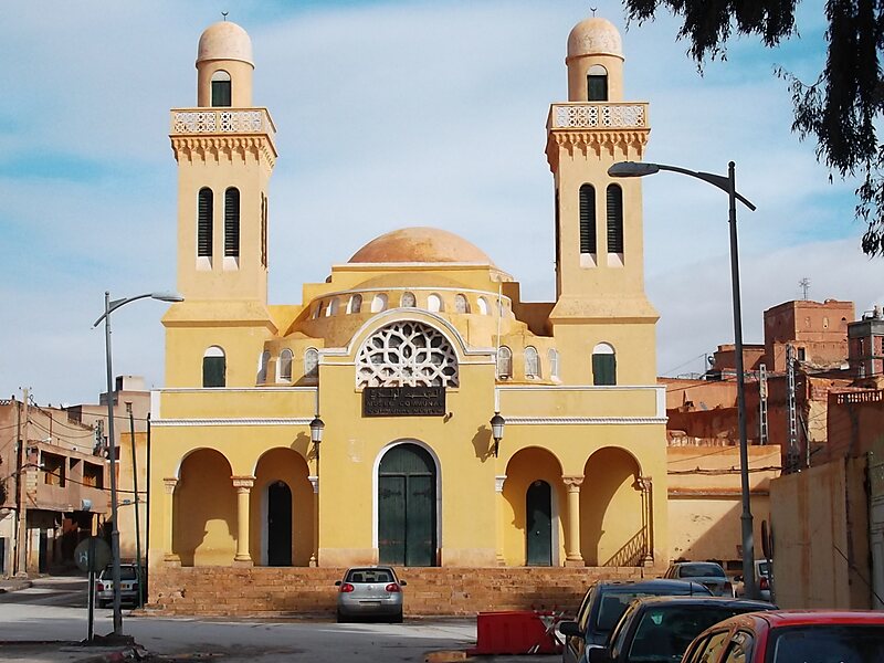
Laghouat is the capital of the Laghouat Province, Algeria, 400 km south of the Algerian capital Algiers. Located in the Amour Range of the Saharan Atlas, the town is an oasis on the north edge of the Sahara Desert. It is an important administrative and military center and marketplace, and is known for rug and tapestry weaving.
Laghouat traces its history to at least the 11th century. It was ruled by the Ottoman Turks in 1786 and annexed to Beylik of Titteri. The town experienced the brutal Siege of Laghouat in 1852, and came under French colonial rule until 1962.
Wikipedia https://en.wikipedia.org/wiki/Laghouat
Official Website http://www.laghouat-dz.org/
Coordinates 33°48'22.866" N 2°52'51.102" E