Lake Moomaw
Gathright Dam is an earthen and rolled rock-fill embankment dam on the Jackson River 19 miles north of Covington, Virginia.
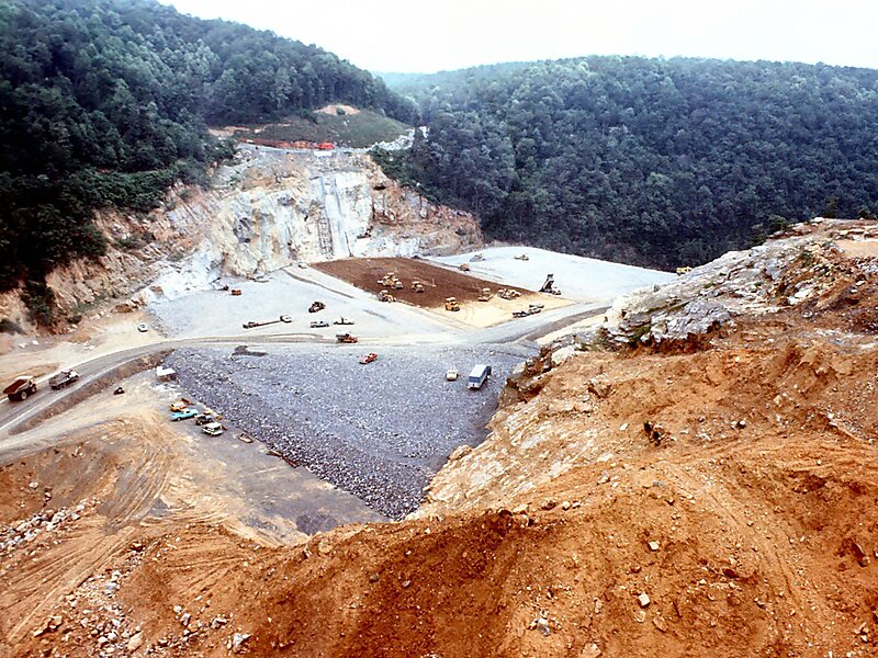
armyengineersnorfolk / CC BY 2.0

Riverside Hotel

Lake Moomaw
2h

Corner Café
45 min
Riverside Hotel
Add Lake Moomaw to Your Trip
Create a detailed travel itinerary with smart routing, time estimates, and everything you need for a perfect trip.
3M+ downloads · 4.6 stars · 15 years of trip planning


More Information and Contact
Wikipedia en.wikipedia.org/wiki/Lake_Moomaw
Wikipedia en.wikipedia.org/wiki/Gathright_Dam
Address 24445, United States
Coordinates 37°58'14.099" N, 79°58'5.625" W
Riverside Hotel
Lake Moomaw
2h
Corner Café
45 min
Riverside Hotel
Add Lake Moomaw to Your Trip
Create a detailed travel itinerary with smart routing, time estimates, and everything you need for a perfect trip.
3M+ downloads · 4.6 stars · 15 years of trip planning