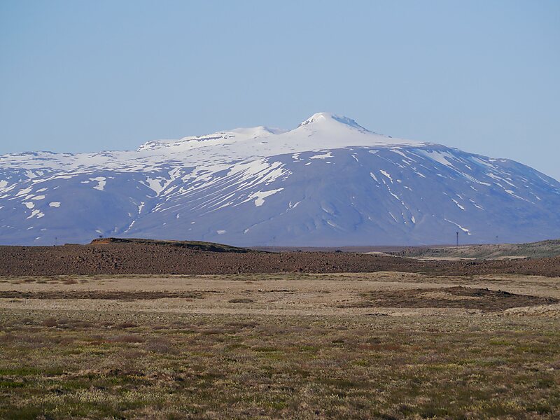
Langjökull is the second largest ice cap in Iceland, after Vatnajökull. It is situated in the west of the Icelandic interior or Highlands of Iceland and can be seen clearly from Haukadalur.
Its volume is 195 km³ and the ice is up to 580 m thick. The highest point of the ice cap is about 1,450 m above sea level.
In the past, the largest recorded surface area was in 1840.
Wikipedia https://en.wikipedia.org/wiki/Langjökull
Address Iceland
Coordinates 64°40'33.002" N -20°9'23.262" E