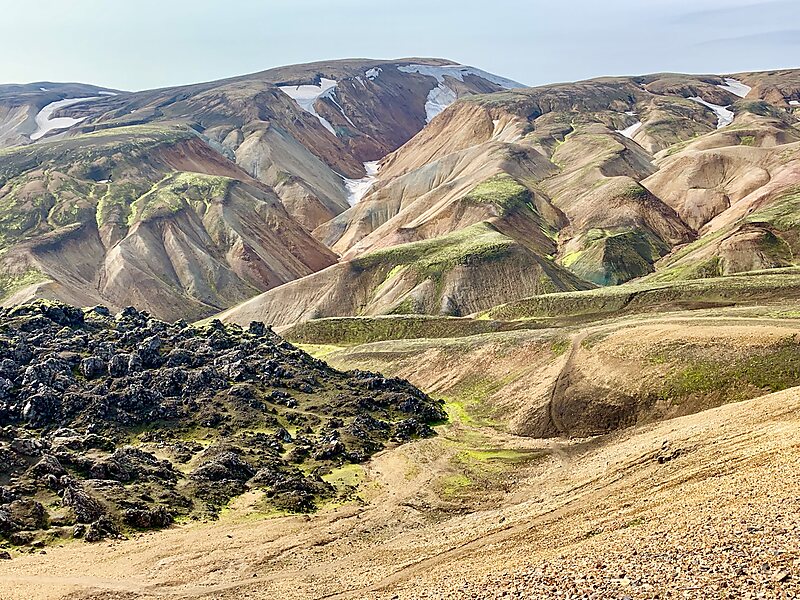
Laugavegur Hiking Trail

Local nameLaugavegur Hiking Trail
LocationSuðurland, Iceland

The 34 mile long hike starts in Skogar village and ends at Thórsmörk.

There are bunkhouses along the way to stay in, vacancy is first-come, first-served. Weather is highly variable so good outdoor gear is mandatory.

Typical duration: 3-4 days
Download Download See more
Laugavegur Hiking Trail @ Benoit Peccoux
 
Laugavegur Photography Jeep Tour from 590 USD
Book ticket

More information and contact

Wikipedia https://en.wikipedia.org/wiki/Laugavegur

Address Iceland

Coordinates 63°59'27.164" N -19°3'48.407" E

Tours and activities: Laugavegur Hiking Trail

Laugavegur Photography Jeep Tour

Instant confirmation
from 590 USD

From Reykjavík: Landmannalaugar Hike and the Valley of Tears

Instant confirmation
from 202 USD

Private The Icelandic Highlands

Mobile voucher
Instant confirmation
from 2042 USD

Tripomatic - A Travel Guide in Your Pocket

Download for free and plan your trips with ease
Or simply search for Tripomatic in the App Store or Google Play.
Tripomatic Maps The world's first map app tailored for travelers
Use the app Not now