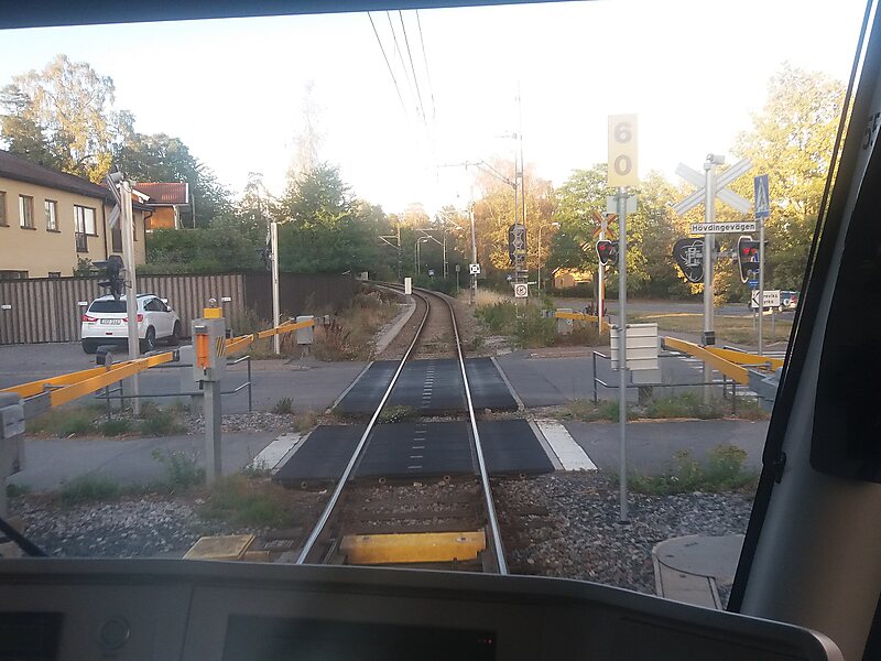
Lidingöbanan is a light rail line in Stockholm, Sweden, between Ropsten and Gåshaga brygga, serving the southern half of Lidingö island.
The Lidingöbanan has its origins in the Stockholm-Södra Lidingöns Järnväg, proposed by inventor Gustaf Dalén, opened for traffic 1914. It got ferry-less access to Stockholm when the Lidingö bridge was opened 1925. Public transportation on Lidingöbanan has always been provided using tram cars, but in the past Lidingöbanan also carried goods traffic. At its largest, Lidingöbanan extended to Humlegården in Stockholm through Stockholms Spårvägar's tramway network, with access to the Värtabanan freight railway track. There was also traffic on a track on the north side of Lidingö island which terminated at Kyrkviken, but that section closed in 1971. Lidingö town centre is now accessible only by bus. Lidingöbanan formally became part of SL's public transportation network in 1972.

Wikipedia https://en.wikipedia.org/wiki/Lidingöbanan
Address Lidingöbron, 18134, Sweden
Coordinates 59°21'45.758" N 18°6'52.763" E