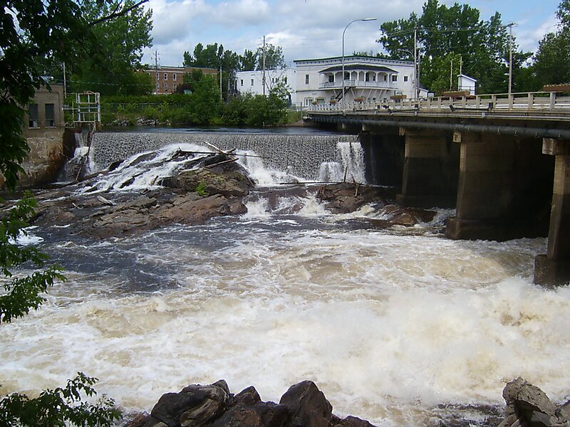
The Lièvre River is a river in western Quebec which flows south from the Mitchinamécus reservoir and empties into the Ottawa River at Masson-Angers. The river is 330 kilometres long and drains an area of 10,400 square kilometres. The river's name is an adaptation of its former French name Riviere aux Lièvres, "River of the Hares".
The 1908 landslide at Notre-Dame-de-la-Salette and the earlier 1903 clay landslide at Leda both occurred on this river.
At one time, the river was used to transport logs downstream to sawmills located near the river's mouth. In 1928, a paper mill was built near the mouth of the river.

Wikipedia https://en.wikipedia.org/wiki/Lièvre_River
Address J0X, Canada
Coordinates 45°58'22.05" N -75°35'10.982" E