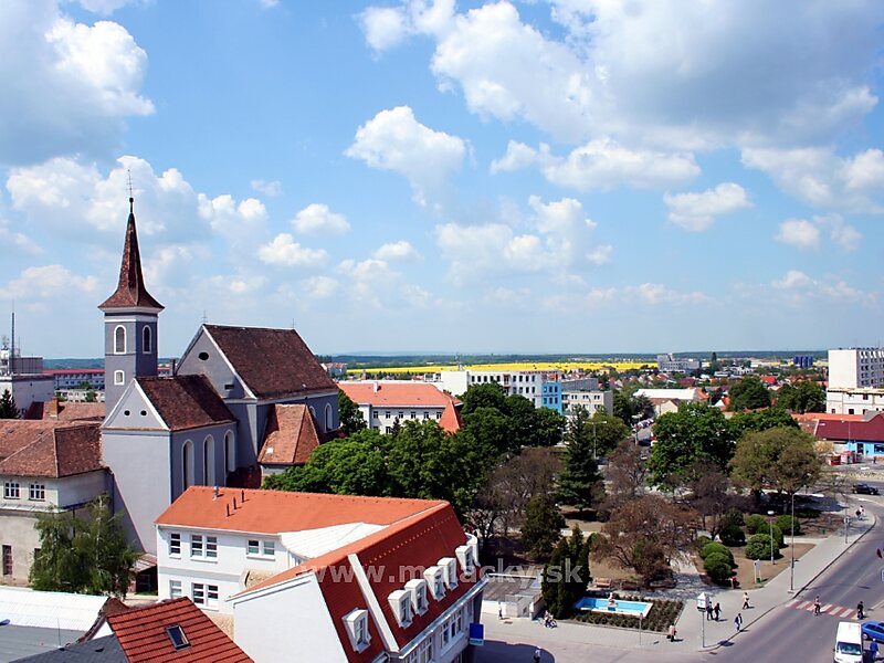
Malacky is a town and municipality in western Slovakia around 35 kilometres north from capital Bratislava. From the second half of the 10th century until 1918, it was part of the Kingdom of Hungary.
It is one of the centres of the region "Záhorie", between the Little Carpathians in the east and Morava River in the west and a cultural and economic hub for nearby villages such as Gajary, Kostolište, Veľké Leváre and Jakubov. The town is located on the large Prague-Brno-Bratislava highway, and many residents commute daily to Bratislava. The Little Carpathians mountain range with its network of signposted trails provides excellent opportunities for mountain biking.
Wikipedia https://en.wikipedia.org/wiki/Malacky
Coordinates 48°26'5.101" N 17°1'13.252" E