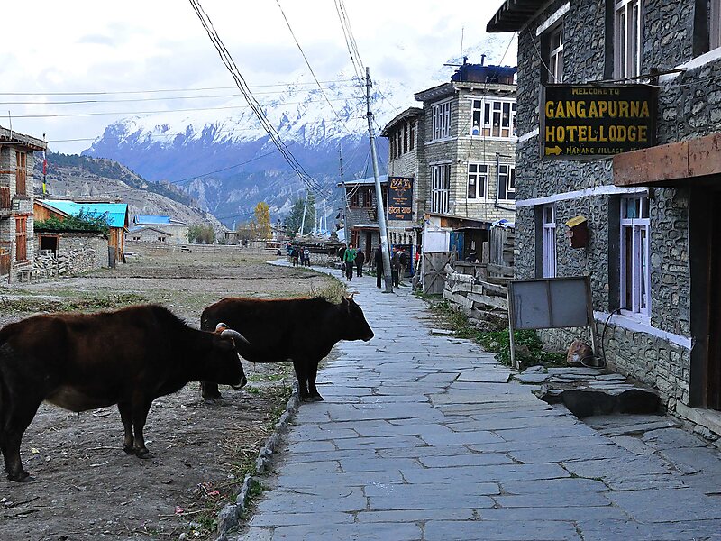
Manang is a town in the Manang District of Nepal. It is located at 28°40'0N 84°1'0E with an elevation of 3,519 metres. According to the preliminary result of the 2011 Nepal census it has a population of 6,527 people living in 1,495 individual households. Its population density is 3 persons/km2.It is situated in the broad valley of the Marshyangdi River to the north of the Annapurna mountain range. The river flows to the east. To the west, the 5,416-metre Thorong La pass leads to Muktinath shrine and the valley of the Gandaki River. To the north there is the Chulu East peak of 6,584 m. Most groups trekking around the Annapurna range will take resting days in Manang to acclimatize to the high elevation, before taking on Thorong La pass. The village is situated on the northern slope, which gets the most sunlight and the least snow cover in the winter. The cultivation fields are on the north slope with terraces.
Download Download See moreWikipedia https://en.wikipedia.org/wiki/Manang
Coordinates 28°36'40.562" N 84°2'39.079" E