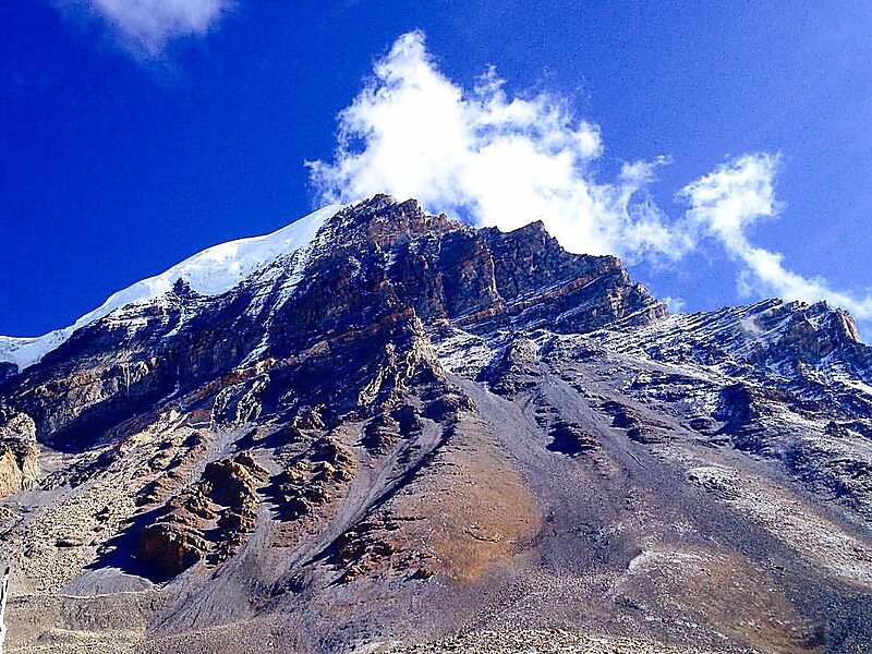
Manang District (Nepali: मनाङ जिल्ला Listen , a part of Gandaki Province, is one of the seventy-seven districts of Nepal. The district, with Chame as its district headquarters, covers an area of 2,246 km2 and had a population of 6,538.The pass of Thorung La at 5415 meters above the sea connects the district to Mustang District by providing a route between the towns of Manang and Muktinath. Manang district gets least amount of rainfall among districts of Nepal as it lies to the north of the Himalayas which blocks monsoon air. The Manang Valley, which lies close to the Nepal-Tibet border, offers tremendous opportunities due to its rich natural flora and fauna. Three tracks start from here. The first, via Thorangla, Muktinath, and Mustang to Lhasa—a journey that takes four days; the second via Naur Khola and Naurgaon, which takes five days to Lhasa; and finally the third via Larkiya bazar, which is the one most commonly used by the people of Central Nepal.
Download Download See moreWikipedia https://en.wikipedia.org/wiki/Manang_District,_Nepal
Coordinates 28°33'2.637" N 84°14'32.472" E