Mapo District is one of the 25 districts of Seoul, South Korea.
Mapo has a population of 381,330 and has a geographic area of 23.87 km2, and is divided into 24 dong. Mapo is located in western Seoul on the northern bank of the Han River, bordering the Gyeonggi Province city of Goyang to the northwest, and the Seoul city districts of Gangseo to the west, Yeongdeungpo to the south, Yongsan to the southeast, Jung to the east, and Seodaemun and Eunpyeong to the north.
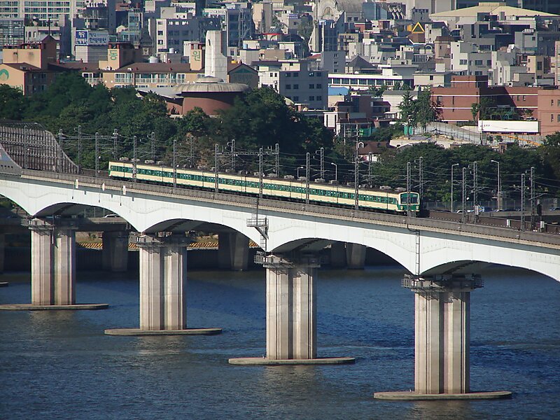
Mapo is home to several universities and government buildings, and is well known for the Hongdae club district around Hongik University. Mapo is connected to the Seoul Metropolitan Subway's Line 2, Line 5, and Line 6, as well as the Airport Railroad, and the Korail Gyeongui-Jungang Line, which all pass through this district. The Seoul World Cup Stadium, a famous landmark in Seoul, is located in Sangam in northwest Mapo.
Wikipedia https://en.wikipedia.org/wiki/Mapo_District
Coordinates 37°33'58.789" N 126°54'6.111" E