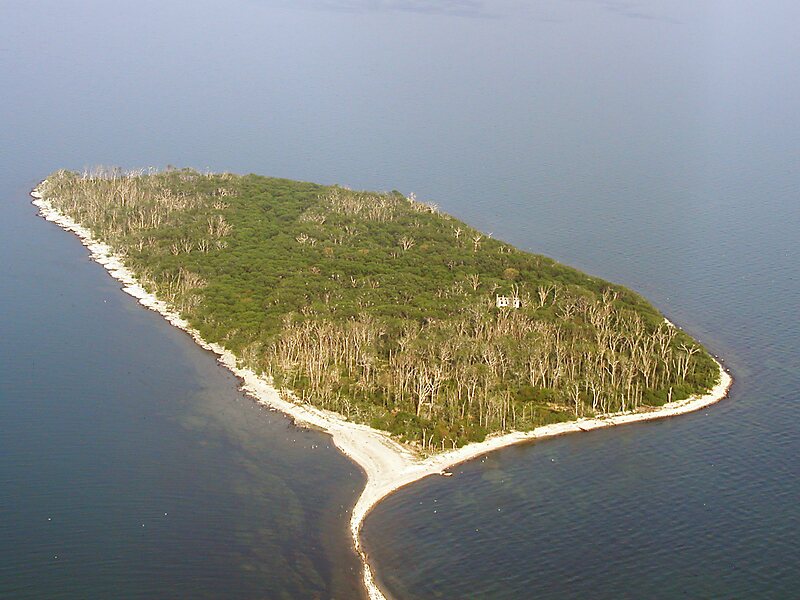
Middle Island is a small island, just 18.5 hectares in area. It is the southernmost point of land in Canada, located at 41°41'N, 82°41"W, or about 41.7 degrees north latitude. It lies in Lake Erie, just south of Pelee Island, and is part of Point Pelee National Park. It forms part of the province of Ontario. The southernmost part of the island lies some 150 metres from the U.S. maritime boundary. The distance to the northernmost point of land in Canada—Cape Columbia, Ellesmere Island—is 4,640 kilometres.
The southernmost point of Middle Island is at a latitude of North 41°40'53", which is at a slightly lower latitude than the southernmost point in Michigan and slightly farther south than downtown Chicago. Twenty-seven U.S. states lie fully or partly north of this point, as do European cities such as Rome and Barcelona and Asian cities such as Sapporo.
Wikipedia https://en.wikipedia.org/wiki/Middle_Island_(Lake_Erie)
Coordinates 41°40'57.885" N -82°41'0.642" E