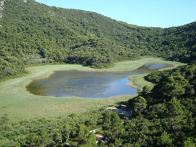
Mljet is the southernmost and easternmost of the larger Adriatic islands of the Dalmatia region of Croatia. The National Park includes the western part of the island, Veliko jezero, Malo jezero, Soline Bay and a sea belt 500 metres wide from the most prominent cape of Mljet covering an area of 54 km2. The central parts of the park are Veliko jezero with the Isle of St. Mary, Malo jezero and the villages of Goveđari, Polače, and Pomena.
Download Download See moreWikipedia https://en.wikipedia.org/wiki/Mljet
Coordinates 42°44'53.751" N 17°31'40.52" E