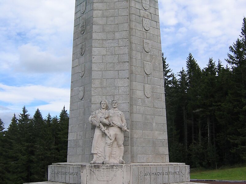
Mont Mouchet is a 1,497-metre-high mountain located on the border of the French départements of Cantal, Haute-Loire and Lozère. It is famous for the historical events which took place there, notably during the Second World War where it hosted a group of French resistance fighters, the Maquis du Mont Mouchet. At the summit there is a large cairn and view-point from which there is a splendid panoramic view over much of Central France from the Massif Central to the Alps.
Download Download See moreWikipedia https://en.wikipedia.org/wiki/Mont_Mouchet
Official Website http://geodesie.ign.fr/fiches/index.php?module=e&action=fichepdf&source=carte&sit_no=4301501
Address 48140, France
Coordinates 44°58'32.808" N 3°22'22.145" E