Monte Troodelöh
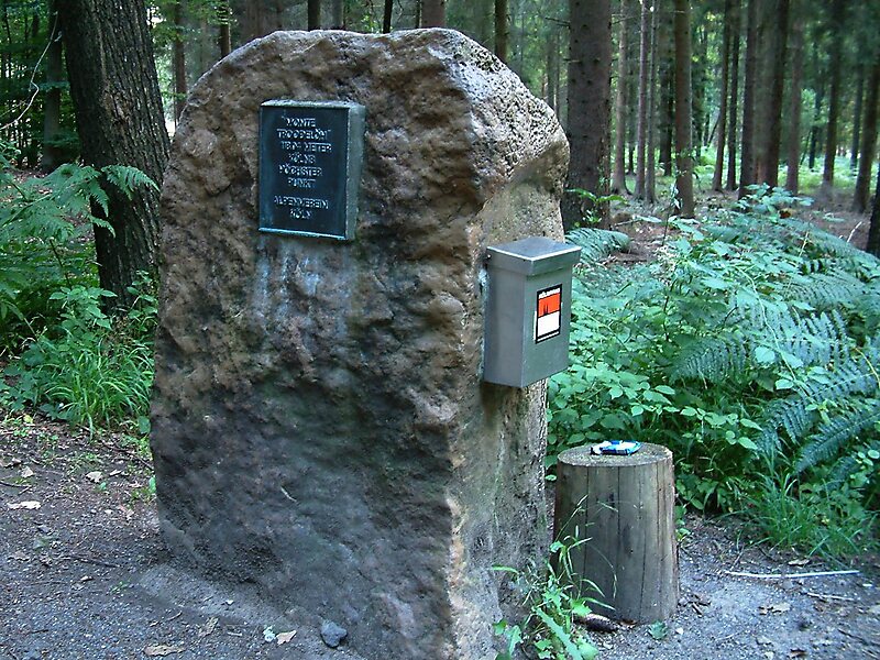
Monte Troodelöh is the highest point in the municipal area of the city of Cologne.
peakguidepost

Riverside Hotel

Monte Troodelöh
2h

Corner Café
45 min
Riverside Hotel
Add Monte Troodelöh to Your Trip
Create a detailed travel itinerary with smart routing, time estimates, and everything you need for a perfect trip.
3M+ downloads · 4.6 stars · 15 years of trip planning


More Information and Contact
Official Website www.monte-troodeloeh.de
Address 51109, Germany
Coordinates 50°56'19.211" N, 7°8'30.78" E
Riverside Hotel
Monte Troodelöh
2h
Corner Café
45 min
Riverside Hotel
Add Monte Troodelöh to Your Trip
Create a detailed travel itinerary with smart routing, time estimates, and everything you need for a perfect trip.
3M+ downloads · 4.6 stars · 15 years of trip planning