Montreuil, sometimes unofficially referred to as Montreuil-sous-Bois, is a commune in the eastern suburbs of Paris, France. It is located 6.6 km from the centre of Paris, in the Seine-Saint-Denis department and in the Métropole du Grand Paris. With a population of 111,367 as of 2020, Montreuil is the third most populous suburb of Paris after Boulogne-Billancourt and Saint-Denis. It is located north of Paris's Bois de Vincennes, on the border with Val-de-Marne.
Download Download See more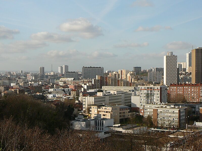
Wikipedia https://en.wikipedia.org/wiki/Montreuil,_Seine-Saint-Denis
Coordinates 48°51'44.409" N 2°26'28.386" E
