The Mount Hood National Forest is a U.S. National Forest in the U.S. state of Oregon, located 62 miles east of the city of Portland and the northern Willamette River valley. The Forest extends south from the Columbia River Gorge across more than 60 miles of forested mountains, lakes and streams to the Olallie Scenic Area, a high lake basin under the slopes of Mount Jefferson. The Forest includes and is named after Mount Hood, a stratovolcano and the highest mountain in the state.
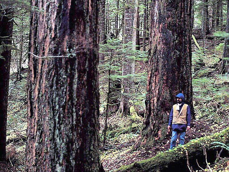
The Forest encompasses some 1,067,043 acres. Forest headquarters are located in Sandy, Oregon. A 1993 Forest Service study estimated that the extent of old growth in the Forest was 345,300 acres. The Forest is divided into four separate districts – Barlow, Clackamas River, Hood River, and Zigzag.
Wikipedia https://en.wikipedia.org/wiki/Mount_Hood_National_Forest
Coordinates 45°14'29.304" N -121°50'16.168" E
