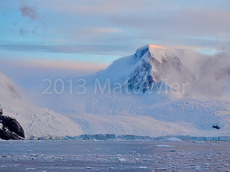
Mount Inverleith is a mountain, 1,495 meters high, overlooking Andvord Bay, located roughly five miles due south of the bay's southern shoreline. Mount Inverleith is flanked by Dallmeyer Peak to the north and by the Grubb Glacier and Bagshawe Glaciers to the west.
It is located roughly 9.5 miles southwest of Brown Station, on Danco Coast in western Graham Land, Antarctica.
The mountain was first charted and named "Iverleith Hill" by Scottish geologist David Ferguson in 1913–14.
Wikipedia https://en.wikipedia.org/wiki/Mount_Inverleith
Coordinates -64°54'16.029" N -62°44'26.169" E
