Mount Irving
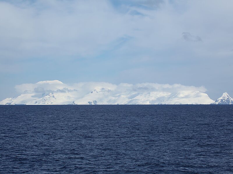
Mount Irving is a mountain rising to ca. 1,950 metres that is the dominant elevation on Clarence Island, in the South Shetland Islands.
peak

Riverside Hotel

Mount Irving
2h

Corner Café
45 min
Riverside Hotel
Add Mount Irving to Your Trip
Create a detailed travel itinerary with smart routing, time estimates, and everything you need for a perfect trip.
3M+ downloads · 4.6 stars · 15 years of trip planning


More Information and Contact
Wikipedia en.wikipedia.org/wiki/Mount_Irving
Coordinates 61°16'36.323" S, 54°7'48.05" W
Riverside Hotel
Mount Irving
2h
Corner Café
45 min
Riverside Hotel
Add Mount Irving to Your Trip
Create a detailed travel itinerary with smart routing, time estimates, and everything you need for a perfect trip.
3M+ downloads · 4.6 stars · 15 years of trip planning