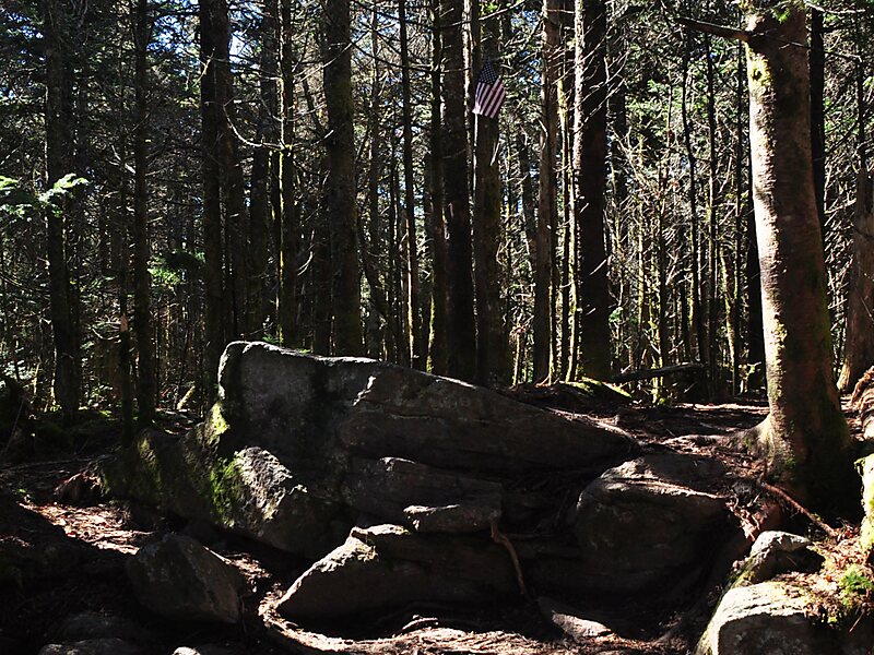
Mount Rogers is the highest natural point in Virginia, United States, with a summit elevation of 5,729 feet above mean sea level. The summit straddles the border of Grayson and Smyth Counties, Virginia, about 6.45 miles WSW of Troutdale, Virginia. Most of the mountain is contained within the Lewis Fork Wilderness, while the entire area is part of the Mount Rogers National Recreation Area, which itself is a part of the Jefferson National Forest.
The mountain is named for William Barton Rogers, a Virginian educated at the College of William & Mary, who taught at William & Mary and the University of Virginia, became Virginia's first State Geologist, and went on to found the Massachusetts Institute of Technology.
Wikipedia https://en.wikipedia.org/wiki/Mount_Rogers
Address 24378, United States
Coordinates 36°39'35.426" N -81°32'40.407" E