Mt. Tamborine National Park
Tamborine National Park is a protected area split between the City of Gold Coast and the Scenic Rim Region in South East Queensland,… Read more…


Add Mt. Tamborine National Park to Your Trip
Create a detailed travel itinerary with smart routing, time estimates, and everything you need for a perfect trip.


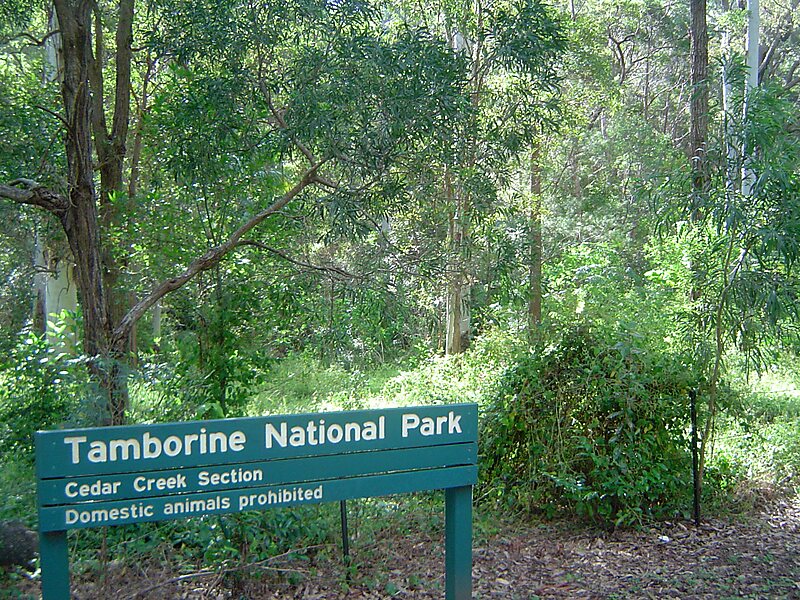
Tamborine National Park is a protected area split between the City of Gold Coast and the Scenic Rim Region in South East Queensland, Australia, 67.5 km by road south of Brisbane.It covers 11.60 square kilometres on the plateau of Tamborine Mountain and around its foothills. The plateau is 8 km long, 5 km wide and rises to an altitude of 525 m. The elevation of the plateau keeps the temperature down a little in summer although December to April is also the wettest time to visit. Winter is drier but also cooler.
The protected area is scattered across 14 separate reserves which make up the National Park, interspersed with villages. There are a number of picnic areas as well as scenic drives and many bushwalks to lookouts, gorges, cliffs, waterfalls, rainforest areas, wet eucalypt forest, open forest and woodlands.
Source: Wikipedia
More Information and Contact
Add Mt. Tamborine National Park to Your Trip
Create a detailed travel itinerary with smart routing, time estimates, and everything you need for a perfect trip.