Mýrdalsjökull

Local nameMýrdalsjökull
LocationSouthern Region, Iceland

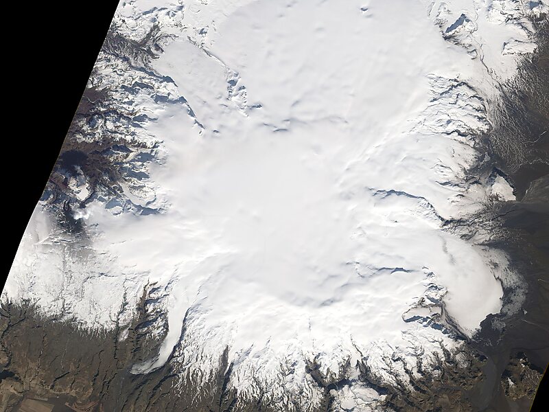
Mýrdalsjökull is an ice cap on the top of the Katla volcano in the south of Iceland. It is to the north of the town of Vík í Mýrdal and to the east of the smaller ice cap Eyjafjallajökull. Between these two glaciers is the Fimmvörðuháls pass.

The glacier contributes to the most serious natural hazard area of Iceland.
Tags Glacier
Download Download See more
Lava continued to pour… @ NASA image by Robert Simmon
 

More information and contact

Wikipedia https://en.wikipedia.org/wiki/Mýrdalsjökull

Address Iceland

Coordinates 63°39'33.245" N -19°5'43.555" E

Tripomatic - A Travel Guide in Your Pocket

Download for free and plan your trips with ease
Or simply search for Tripomatic in the App Store or Google Play.
Tripomatic Maps The world's first map app tailored for travelers
Use the app Not now