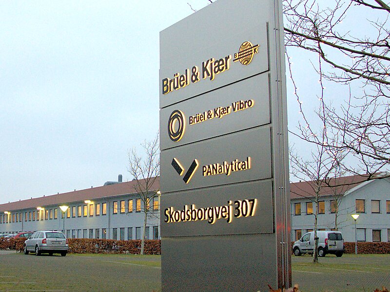
Nærum is a suburban district in Rudersdal Municipality in the north outskirts of Copenhagen, Denmark. Quartered by the Helsingør Motorway running north–south and Skodsborgvej running east–west, Nærum is bounded by Jægersborg Hegn on the south and east, Geel's Forest on the west, open fields on the north and the Søllerød district on the northwest. 5230 people live in the parish of Nærum, most of them in low-rise concrete blocks or single-family houses.
Download Download See moreWikipedia https://en.wikipedia.org/wiki/Nærum
Coordinates 55°49'3.683" N 12°32'10.649" E