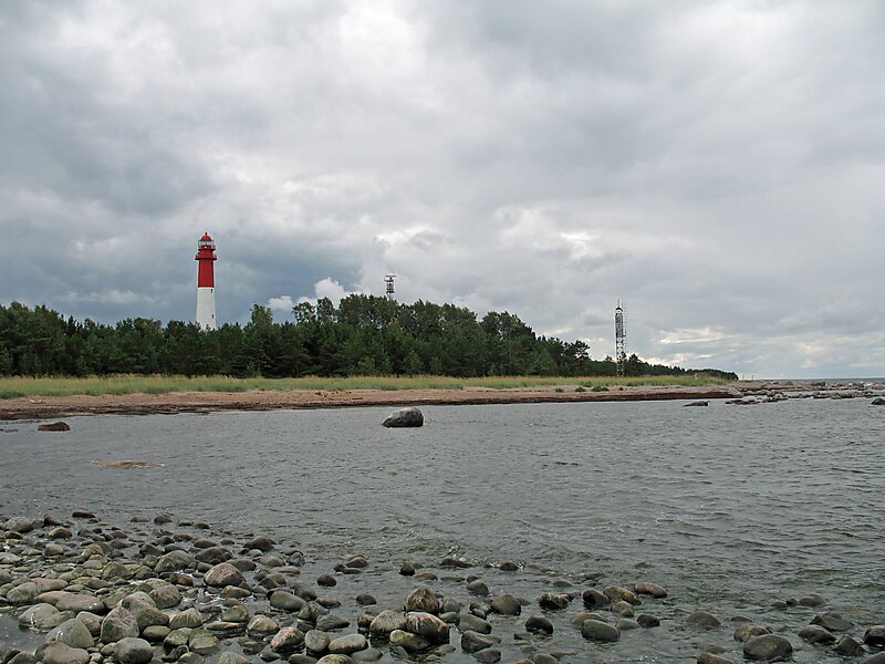
Naissaar is an island in Estonia. It is situated in the Gulf of Finland, northwest of the capital city Tallinn, and is administratively part of the Viimsi parish. The island covers an area of 18.6 square kilometres. It is 8 kilometres long and 3.5 kilometres wide, and lies about 8.5 kilometres from the mainland. The highest point on the island is Kunilamägi, which is 27 metres above sea level. The island consists predominantly of coniferous forest and piles of stones and boulders. In 2020, the island had a population of 17; in 2011 the island had 35 or so permanent residents and some summer residents. Administratively the island is divided into three villages: Lõunaküla, Tagaküla, and Väikeheinamaa.
Until the Second World War, the island's population numbered about 450 people of Estonian-Swedish origin. However, these people fled during the war. Naissaar under Soviet rule was a military area and off-limits to the public.
Wikipedia https://en.wikipedia.org/wiki/Naissaar
Coordinates 59°33'57.664" N 24°31'5.432" E