Normandy Bridge
France, 🇫🇷 France
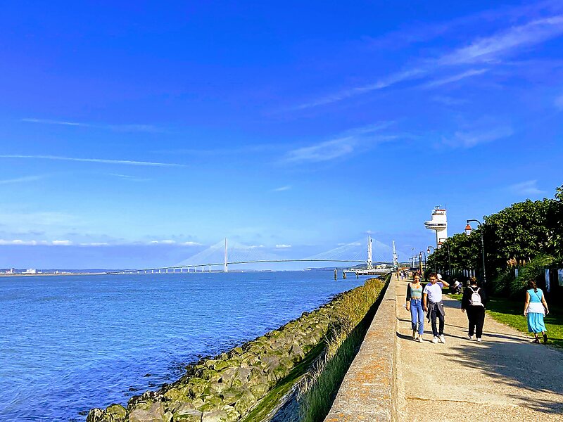
The Pont de Normandie is a cable-stayed road bridge that spans the river Seine linking Le Havre to Honfleur in Normandy, northern France.
bridge

Riverside Hotel

Normandy Bridge
2h

Corner Café
45 min
Riverside Hotel
Add Normandy Bridge to Your Trip
Create a detailed travel itinerary with smart routing, time estimates, and everything you need for a perfect trip.
3M+ downloads · 4.6 stars · 15 years of trip planning


More Information and Contact
Wikipedia en.wikipedia.org/wiki/Pont_de_Normandie
Coordinates 49°25'59.488" N, 0°16'26.017" E
Riverside Hotel
Normandy Bridge
2h
Corner Café
45 min
Riverside Hotel
Add Normandy Bridge to Your Trip
Create a detailed travel itinerary with smart routing, time estimates, and everything you need for a perfect trip.
3M+ downloads · 4.6 stars · 15 years of trip planning