North Stradbroke Island, colloquially Straddie or North Straddie, is an island that lies within Moreton Bay in the Australian state of Queensland, 30 kilometres southeast of the centre of Brisbane. Originally there was only one Stradbroke Island but in 1896 it split into North Stradbroke Island and South Stradbroke Island separated by the Jumpinpin Channel. The Quandamooka people are the traditional owners of North Stradbroke island.The island is divided into four localities: Dunwich, Amity and Point Lookout are small localities centred on the towns of the same name, while the remainder of the island is in the locality of North Stradbroke Island. All the localities are within the City of Redland.
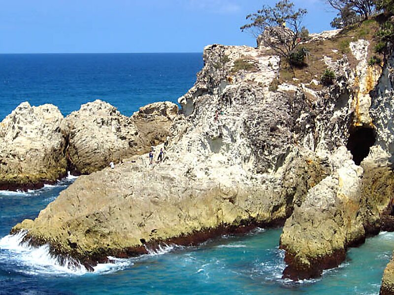
At 275.2 square kilometres, it is the second largest sand island in the world. On the island there are three small towns, a number of lakes and beaches along most of the seaward coastline with rocky outcrops at Point Lookout.
Wikipedia https://en.wikipedia.org/wiki/North_Stradbroke_Island
Official Website http://www.stradbrokeisland.com/
Address Beehive Road, 4183, Australia
Coordinates -27°25'58.915" N 153°27'48.794" E