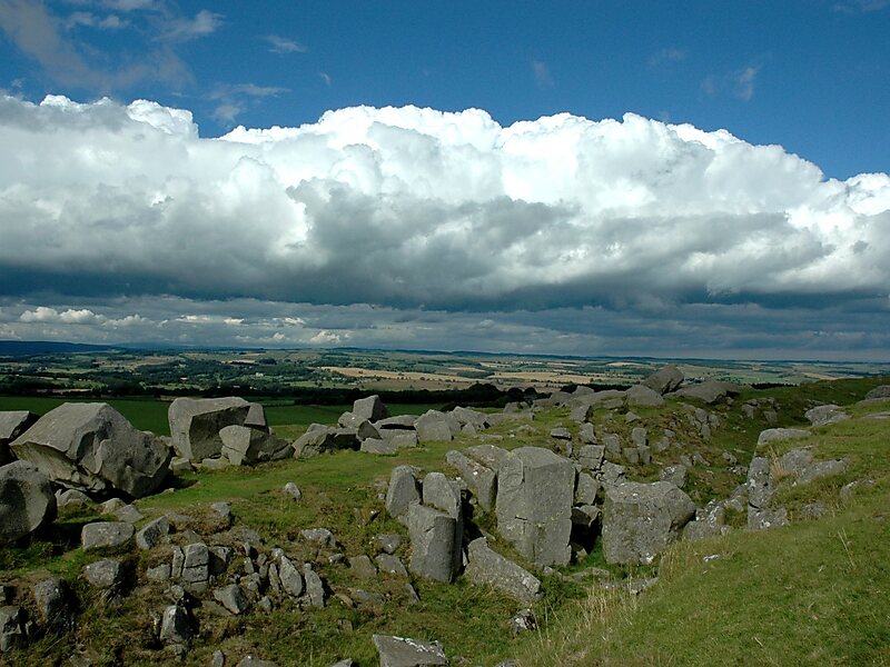
Northumberland National Park is the northernmost national park in England. It covers an area of more than 1,030 square kilometres between the Scottish border in the north to just south of Hadrian's Wall, and it is one of the least populated and least visited of the National Parks. The park lies entirely within Northumberland, covering about a quarter of the county.
The park covers several distinct areas. In the north are the Cheviot Hills, a range of hills that mark the border between England and Scotland. Further south, the hills give way to areas of rolling moorland, some of which have been covered by forestry plantations to form Kielder Forest. The southernmost part of the park covers the dramatic central section of Hadrian's Wall, dating from the Roman occupation.
Wikipedia https://en.wikipedia.org/wiki/Northumberland_National_Park
Official website http://www.northumberlandnationalpark.org.uk/
Facebook https://www.facebook.com/NorthumberlandNP
Twitter https://twitter.com/northumberlndnp/
Address NE19 1, United Kingdom
Coordinates 55°19'0.001" N -2°13'0.001" E