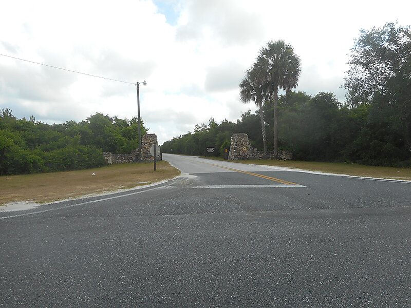
Ocala National Forest
The Ocala National Forest ls the second largest nationally protected forest in the U.S. State of Florida.
protected area

Riverside Hotel

Ocala National Forest
2h

Corner Café
45 min
Riverside Hotel
Add Ocala National Forest to Your Trip
Create a detailed travel itinerary with smart routing, time estimates, and everything you need for a perfect trip.
3M+ downloads · 4.6 stars · 15 years of trip planning


More Information and Contact
Official Website www.fs.usda.gov/recarea/florida/recarea/
Address 32134, United States
Coordinates 29°12'23.379" N, 81°43'45.156" W
Riverside Hotel
Ocala National Forest
2h
Corner Café
45 min
Riverside Hotel
Add Ocala National Forest to Your Trip
Create a detailed travel itinerary with smart routing, time estimates, and everything you need for a perfect trip.
3M+ downloads · 4.6 stars · 15 years of trip planning