Ohakune is a small town at the southern end of Tongariro National Park, close to the southwestern slopes of the active volcano Mount Ruapehu, in the North Island of New Zealand. It is 25 kilometres west of Waiouru, 70 kilometres northeast of Whanganui, 215 kilometres north of Wellington and 292 kilometres south of Auckland. It is part of Ruapehu District and the Manawatū-Whanganui region.
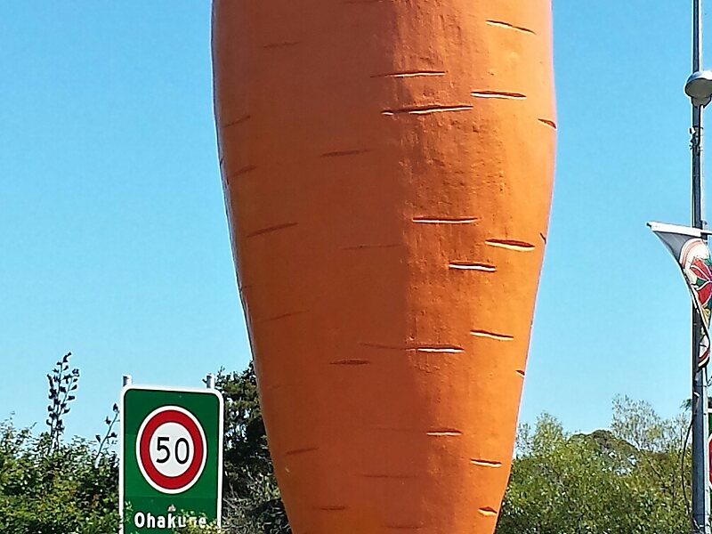
A rural service town known as New Zealand's Carrot Capital, Ohakune is a popular base in winter for skiers using the ski fields of Mount Ruapehu and in summer for trampers hiking the Tongariro Alpine Crossing.
Wikipedia https://en.wikipedia.org/wiki/Ohakune
Coordinates -39°25'1.004" N 175°23'58.605" E