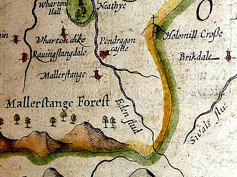
Mallerstang is a civil parish in the extreme east of Cumbria, and, geographically, a dale at the head of the upper Eden Valley. Originally part of Westmorland, it lies about 6 miles south of the nearest town, Kirkby Stephen. Its eastern edge, at Aisgill, borders on North Yorkshire; and since August 2016 it has been within the Yorkshire Dales National Park.
At the 2011 census data for Wharton was included with Mallerstang, giving a total population of 173.
Wikipedia https://en.wikipedia.org/wiki/Mallerstang
Coordinates 54°24'33.636" N -2°20'7.704" E