Pan-Borneo Highway
Pan Borneo Highway, also known as Trans-Borneo Highway or Trans-Kalimantan Highway, is a road network on Borneo Island connecting two… Read more…


Add Pan-Borneo Highway to Your Trip
Create a detailed travel itinerary with smart routing, time estimates, and everything you need for a perfect trip.


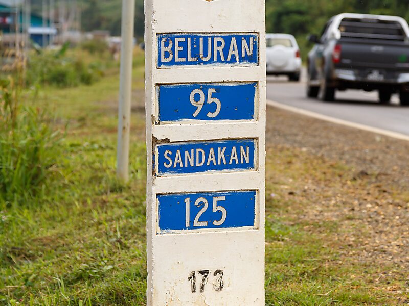
Pan Borneo Highway, also known as Trans-Borneo Highway or Trans-Kalimantan Highway, is a road network on Borneo Island connecting two Malaysian states, Sabah and Sarawak, with Brunei and Kalimantan region in Indonesia. The highway is numbered AH150 in the Asian Highway Network and as Federal Route 1 in Sarawak. In Sabah, the route numbers given are 1, 13 and 22. The highway is a joint project between both governments which started as soon as the formation of Malaysia in 1963 which comprised Malaya, Sabah, Sarawak and Singapore. The lack of a road network system in Sarawak was the main factor of the construction.
The length of the entire highway is expected to be about 2,083 kilometres for the Malaysian section, 168 kilometres for the Bruneian section and 3,073 kilometres for the Indonesian section. The Indonesian sections of the Pan Borneo Highway is known as the Trans-Kalimantan Highway. The western route connects the city of Pontianak to Tebedu.
Source: Wikipedia
More Information and Contact
Add Pan-Borneo Highway to Your Trip
Create a detailed travel itinerary with smart routing, time estimates, and everything you need for a perfect trip.