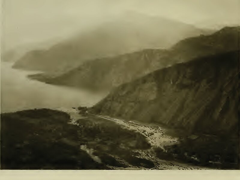
Panajachel is a town in the southwestern Guatemalan Highlands, less than 140 kilometres from Guatemala City, in the department of Sololá. It serves as the administrative centre for the surrounding municipality of the same name. The elevation is 1,597 metres. Population was 11 thousand in the 2000 census, projected as 15,830 by June 30, 2020 and has approximately doubled each of the last few decades. The town of Panajachel is located on the Northeast shore of Lake Atitlán, and has become a centre for the tourist trade of the area as it provides a base for visitors crossing the lake to visit other towns and villages.
"Panajachel" derives from the Kaqchikel language and roughly translates to "place of the Matasanos," the white sapote fruit tree.
Wikipedia https://en.wikipedia.org/wiki/Panajachel
Official Website http://www.panajachel.com/
Coordinates 14°44'31.812" N -91°9'21.513" E