Pancas is a Brazilian municipality in the state of Espírito Santo. Its population was 23,306 and its area is 838 km². East Pomeranian, a dialect of Low German, has co-official status in Pancas.
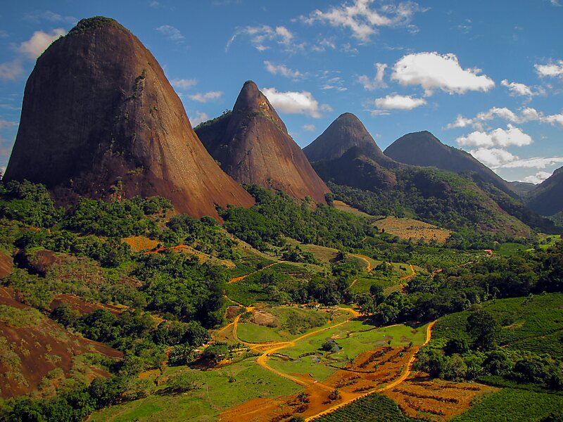
It is situated on a tributary of the Doce River, in the northwest of the state. Locally it is known as a good spot for paragliding. The landscape around the town is distinguished by large numbers of granite inselbergs, and Pedra Agulha near the town is the second highest "chaminé" in Brazil - the highest being the famous Corcovado in Rio de Janeiro.
Wikipedia https://en.wikipedia.org/wiki/Pancas
Coordinates -19°13'26.121" N -40°51'0.92" E