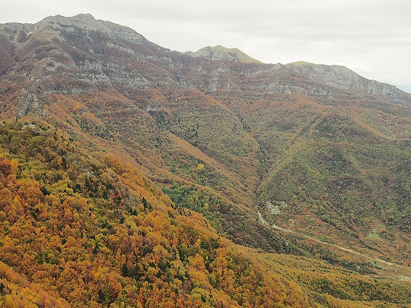
The Pangaion Hills are a mountain range in Greece, approximately 40 km from Kavala. The highest elevation is 1,956 m at the peak of Koutra. The Aegean Sea lies to the south and the plains of Philippi-Kavala to the north. The mountain range covers the southeastern portion of the Serres regional unit as well as the northwestern part of the Kavala regional unit which includes the bigger part of the hills.
The Ottoman Turks called the hills Pınar Dağ. The Slavic name is Kushnitsa or Kushinitsa.
Wikipedia https://en.wikipedia.org/wiki/Pangaion_Hills
Address 64008, Greece
Coordinates 40°54'49.693" N 24°5'27.165" E