Pangkalpinang, also colloquially written as Pangkal Pinang, is the capital and largest city of the Bangka Belitung Islands Province in Indonesia. It is located on Bangka Island's east coast, the city is divided into seven districts and has 42 wards.
It covers an area of 89.40 square kilometres and it had a population of 216,893 at the 2020 Census. The city's population density is about 2,426 per square kilometre in 2020. The Rangkui River divides the city into two parts, and Jalan Merdeka is its geographic center.
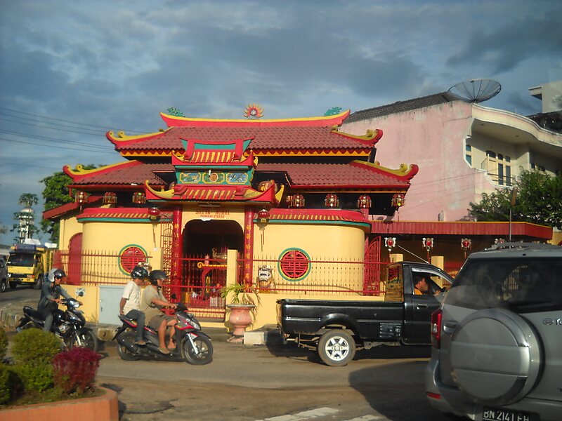
Pangkalpinang's population consists largely of ethnic Malays and Hakka Chinese people. There are also smaller immigrant communities of other ethnic groups, such as Batak and Minangkabau.
Wikipedia https://en.wikipedia.org/wiki/Pangkal_Pinang
Coordinates -2°7'14.424" N 106°6'48.457" E