Pasir Ris
Pasir Ris is a planning area and residential town located in the East Region of Singapore.
stationmetro stationpublic transporttrain stationwheelchair accessible

Riverside Hotel

Pasir Ris
2h

Corner Café
45 min
Riverside Hotel
Add Pasir Ris to Your Trip
Create a detailed travel itinerary with smart routing, time estimates, and everything you need for a perfect trip.
3M+ downloads · 4.6 stars · 15 years of trip planning


More Information and Contact
Wikipedia en.wikipedia.org/wiki/Pasir_Ris
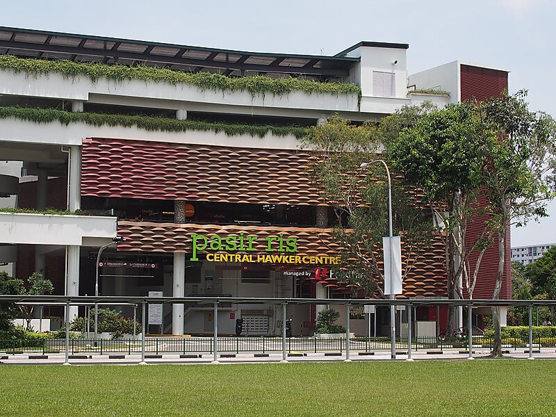
Address 1 Pasir Ris Central Street 3, Pasir Ris 519634, Singapore
Coordinates 1°22'22.91" N, 103°56'57.318" E
Riverside Hotel
Pasir Ris
2h
Corner Café
45 min
Riverside Hotel
Add Pasir Ris to Your Trip
Create a detailed travel itinerary with smart routing, time estimates, and everything you need for a perfect trip.
3M+ downloads · 4.6 stars · 15 years of trip planning