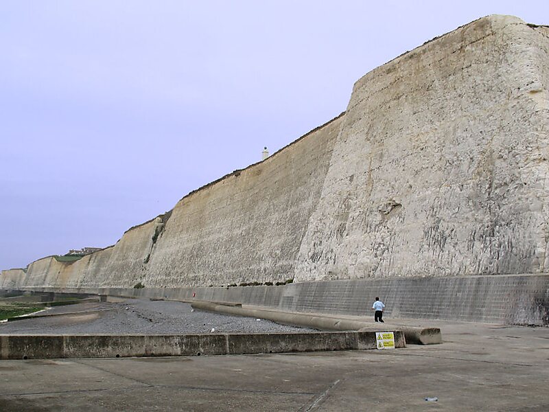
Peacehaven is a town and civil parish in the Lewes district of East Sussex, England. It is located above the chalk cliffs of the South Downs approximately six miles east of Brighton city centre, on the A259 road. Its site coincides with the point where the Greenwich meridian crosses the English south coast. Peacehaven is next to Telscombe Cliffs, a later western extension to Peacehaven, which lies within a separate parish and has a separate town council.
Download Download See moreWikipedia https://en.wikipedia.org/wiki/Peacehaven
Coordinates 50°47'46.385" N -0°0'9.859" E